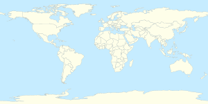
| WGS84 | 40° 47′ 43.08″ N, 73° 6′ 1.08″ W 40.7953°, -73.1003° | ||
| UTM | 18T 660265 4517770 | ||
| Geo URI | geo:40.7953,-73.1003 | ||
| Typ | event | Scale | ± 1:50000 |
Hier kannst du Koorten to Accidente aéreo de Long Island, 1955 finnen:
- All Koordinaten ut’n Artikel…
- bi OSM, Google, Bing; KML-Export
- All Koordinaten ut verlinkt Artikels…
- bi OSM, Google, Bing; KML-Export
